
Land surveying is a common practice, but not everyone is familiar with the exact job of a land surveyor. In this article, we will take a look at how land surveys are made, as well as discuss when it’s time for you to get one.
What Is A Land Survey?
Land surveying covers a range of services, but it basically consists of aggregating information & measurements of a field, represented as three-dimensional points and their locations. It can also be imagined to be a graphic layout of a property.
How Are Land Surveys Made?
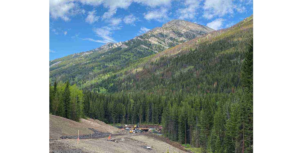
Land surveying is done by professionals who have years of experience and education in the field, as well as a certification from the relevant authority. These licensed professionals make use of various methods and equipment, such as GPS, GIA drones, 3D scanners and total stations, to collect data for the report.
Measuring the horizontal and vertical angles, and combining these angles with tape measures can give a trigonometric location of a property. A total station is used to record these figures and is one of the most commonly used equipment by survey professionals. This process gets much more complicated when GPS and drones are involved.
Why Do I Need A Land Survey?
Getting a land survey isn’t limited to one reason and can be conducted for all the following reasons.
Understand The Size And Price Of A Plot
Land surveys help determine the accurate size of a plot, before a real estate transaction to make sure that the buyer is getting what’s been advertised. In case of any inconsistencies, the buyer can either negotiate the price of the property or decide to move on from the deal.
Construction Layout
If you plan to construct a property on the land, a land survey helps you make sure that the construction adheres to all the requirements, does not fall under encroachments, and meets requirements such as minimum and maximum heights.
Building A Home
A land survey allows a potential homeowner to find the best place to build their home, especially the most elevated regions on the property, particularly helpful in installing drainage systems.
Resolving Boundary Disputes
Land surveys can help resolve property disputes by bringing to light any structures that fall beyond a property line. For example, a neighbor’s tree or fence could be entering your property and if you aren’t comfortable with it, you can show the land survey as proof and get them to make the necessary changes.
Deformation Monitoring
There are a few important structures in every city that need constant monitoring. To determine any changes that might negatively impact the longevity of the structure. Land surveying around these structures is done to make sure that they are in optimal condition.
What Services Does An Okanagan Valley Land Surveyor Provide?
Most land surveyors in Okanagan Valley provide a range of services in addition to land surveys. Core Geomatics, in Okanagan Valley, has a reputation for providing a range of high-quality services, and here are a few that they’re highly known for.
1. Real Property Reports
2. Land Development Survey
3. Construction Survey
4. Infrastructure and Transportation Survey
5. Utility Survey
6. Energy Survey
7. Pipeline and Pipeline Integrity Survey
8. Renewable Energy
9. Mining Survey
In addition to the above, CoreGeomatics also provides other services such as Environmental planning and Construction monitoring. If you want any type of survey done, contact them to get the best cost-effective rates & be rest assured that you are in the best hands.
For More Information about Calgary Real Property Reports and Calgary Land Surveyor Please Visit: CORE Geomatics.